Casa Branquinho
Sao Filipe, Ilha do Fogo (CABO VERDE)
Sao Filipe, Ilha do Fogo (CABO VERDE)
Casa Branquinho
Sao Filipe, Ilha do Fogo (CABO VERDE)
Sao Filipe, Ilha do Fogo (CABO VERDE)


 casabranquinho@hotmail.com
 |
 |
 |
 |
 |
| Sao Filipe | Cha das Caldeiras | Mosteiros | Punta Salina | Costa este |
 Fogo y São Filipe
The island of Fogo was discovered the 1st of May of 1460 and was initially named Sao Filipe. Round-shaped, has a total area of 476 km2 the forth in extension of Cabo Verde- and has a population of 37.000 people. Its capital is the historical city of Sao Filipe, the second oldest city of the country after Cidade Velha in Santiago.
The island, of volcanic origin, as the rest of the Caboverdian archipelago, is currently an active great volcano, with a maximum height of 2.829 metres. This impressive volcano offers landscapes of odd beauty, and it is an important turistic spot.


 Cha das Caldeiras
Cha das Caldeiras is the highest populated area of the island. It is settled into the Bordeira, the bottom of the ancient cauldron. This is the reason why the volcanic landscape dominates all.
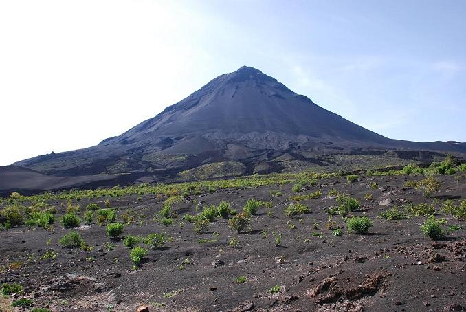
In Cha das Calderas stands the Pico do Fogo volcano, the Cabo Verdes highest height and the best example of the volcanic origin of the archipelago. In its slopes grapes are cultivated, with which it is made the well-known wine of Fogo, that you can taste in the farming cooperative.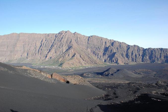


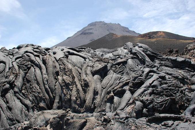
 Pico do Fogo
With a 2.829 m height, Pico do Fogo is the top of Cabo Verde, and the second highest height of the Atlantic, after Teide mountain, in the Canary Islands, another volcano with whom it has great similarities: both are stratovolcanoes that stand from the bottom of a derrumbed cauldron, here called Bordeira and in Tenerife known as Las Cañadas.
The ascension to Pico do Fogo starts in Cha das Caldeiras, where you can ask for the services of a mountain guide. Early in the morning, with the first morning light, we take a track that goes through vineyards and, not taking much time, get us to the slope of the fantastic peak.

 Mosteiros y la zona norte
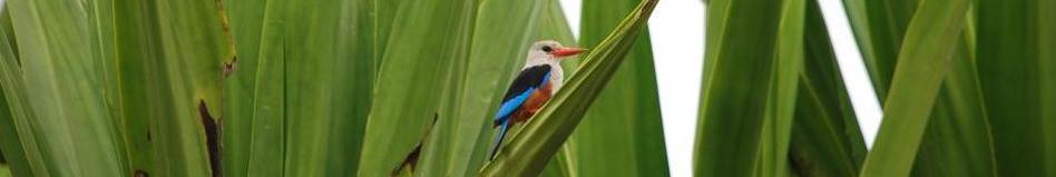
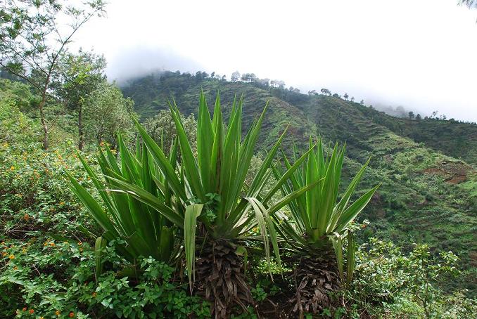
Mosteiros is the most important town of the northern coast of the island. It is caracterized by its fertile terrain, plenty of cultivations, many of them coffeyards and banana tree plantations.
Mosteiros is the destination point of the descending route from Cha das Caldeiras, where we arrive after walking a way with a very high slope surrounded by thick vegetation and where we can know a peculiar environment of the island with a great biodiversity.


 Punta Salina
It is the most recommended bath area of the island and its name comes from the Dentre saltyards, once in a time exploited.
In Punta Salina we can find a small beach surrounded by beautiful geological shapes: volcanic streams and a natural bridge that is the target of every photographer.


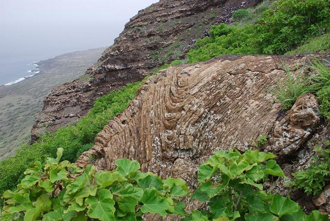
 Las lavas de la costa este: de Bombardeiro a Relva
In the eastern coast of Fogo you can observe the different lava formations that descend from the top of Pico to the ocean. They are the footprint of the successive eruptions that have occured from the birth of the island up to now.
From Espigao sightseeing point, you can observe lava formations from different ages, many of them identified with the historical eruptions of 1951, 1857 and 1769.